Started a new page. Other pages can be found in the menu on the home page http://www.ushingi.net
Finally!
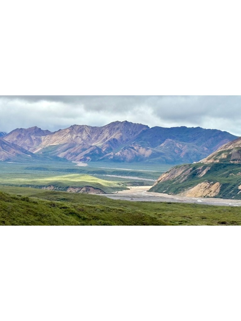
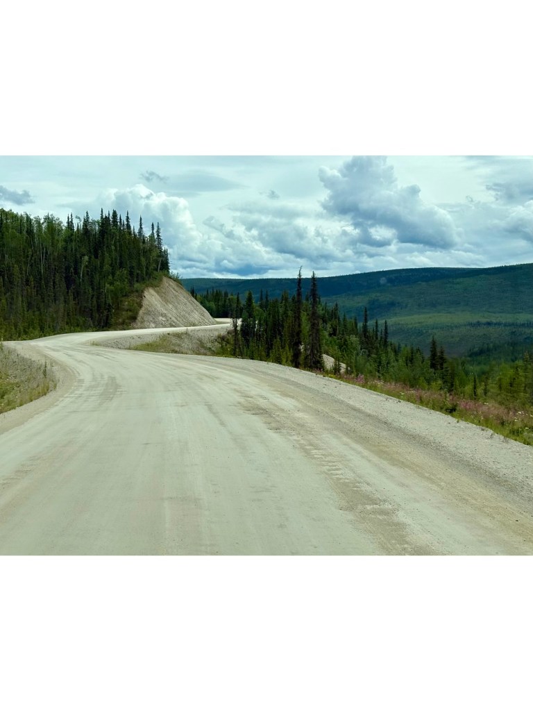
Another magical drive – 29 miles on slippery gravel road to Teklanika Campground in drizzly conditions but the light was wondrous.
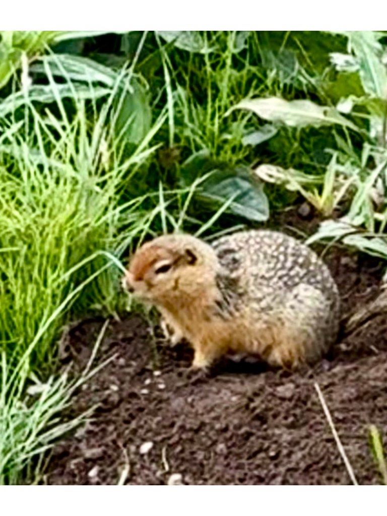
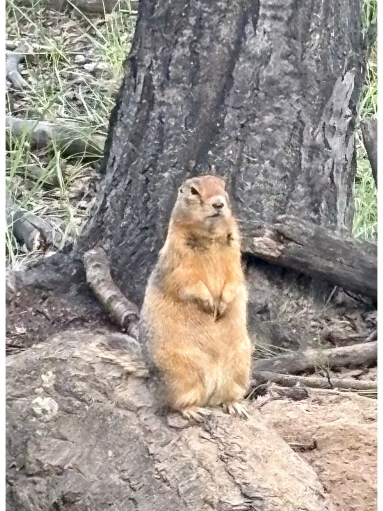
Driving to TeklanikaDriving to TeklanikaOur hiking view today Arctic Ground Squirrel
The closest we got to wildlife on our hike. We did see Dall Sheep, Caribou and Bears through binoculars.
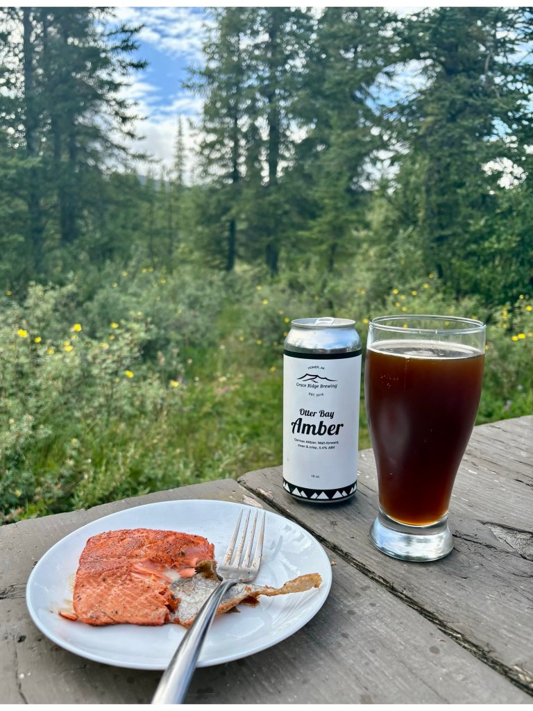
Denali Dinner
Sockeye Salmon Caught
Amongst Watchful Grizzly Bears
In Icy Kenai
Is that a Haiku??😂
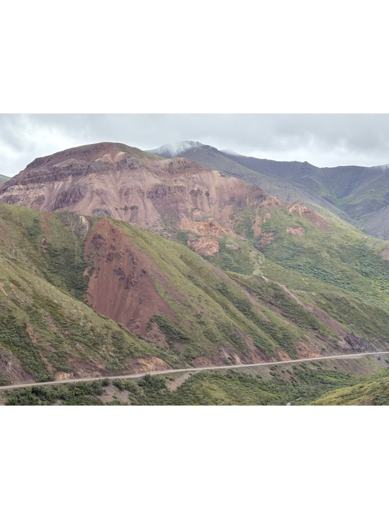
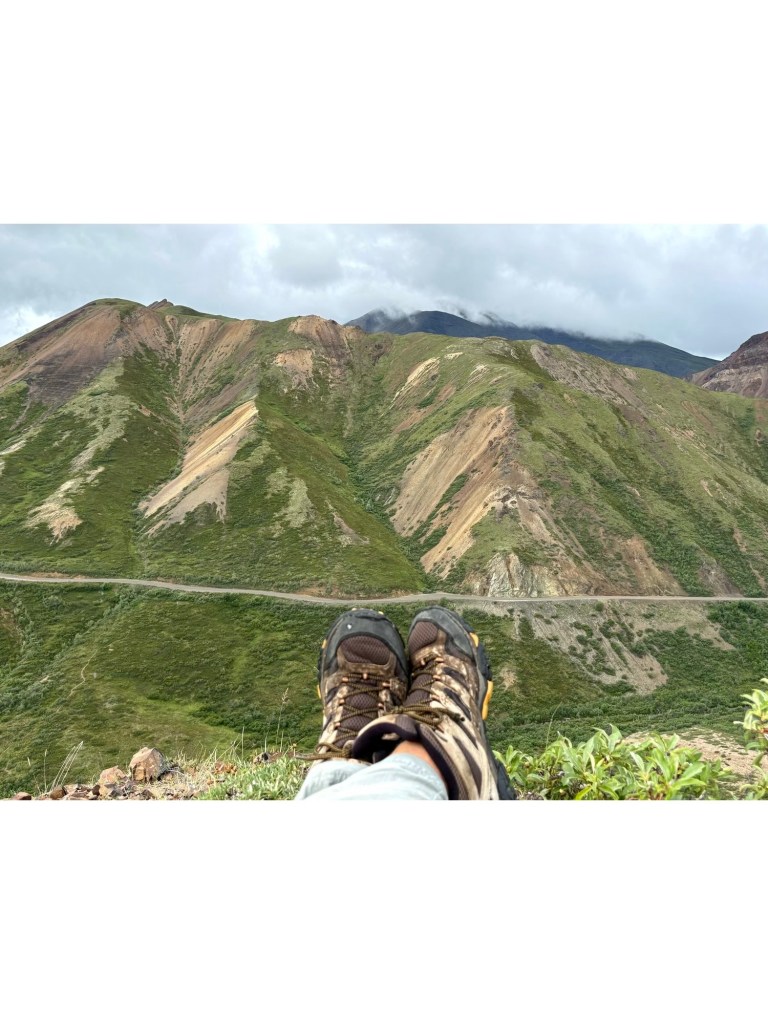
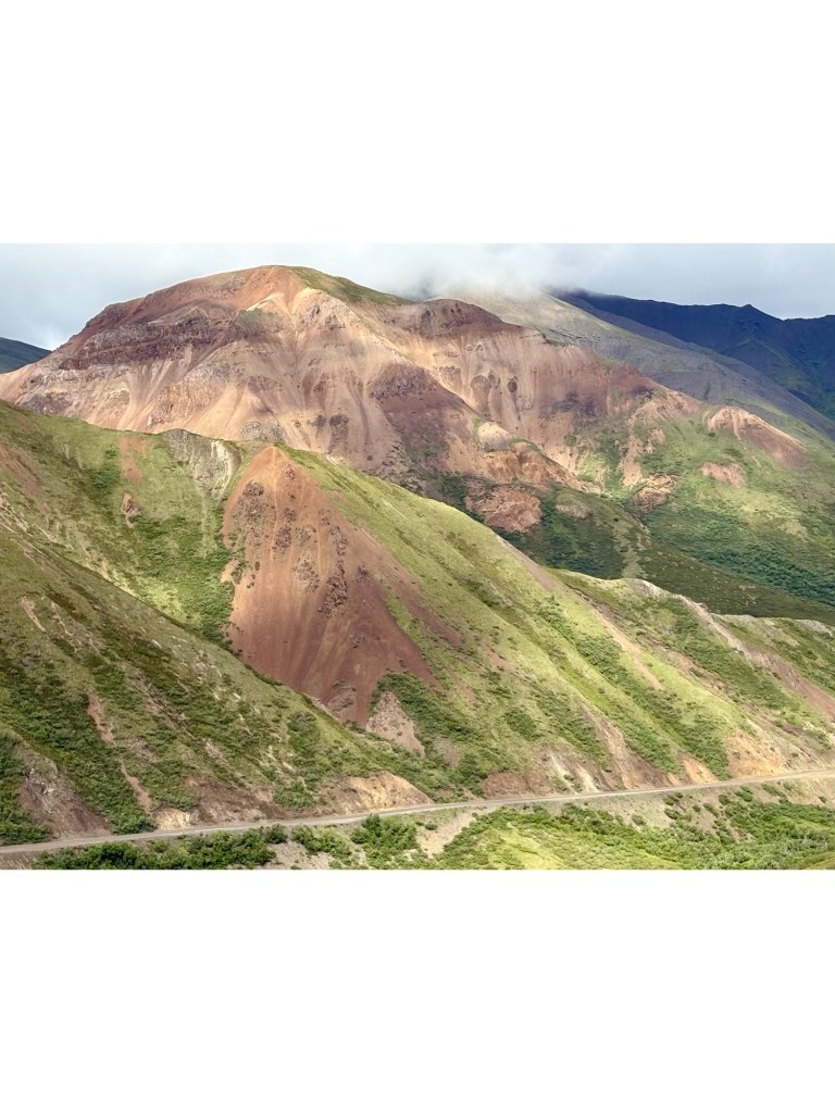
Denali is still hidden away in the clouds so I took the bus to Sable Pass and then walked back a mile or so to go off road. Lynne picked up a cold, poor soul , so she stayed at the camp with ZuZu.
A meandering stroll at Sable PassA short and steep climb from the road belowWell earned rest The sun peeped out!
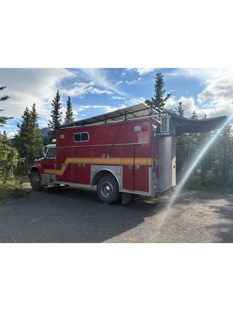
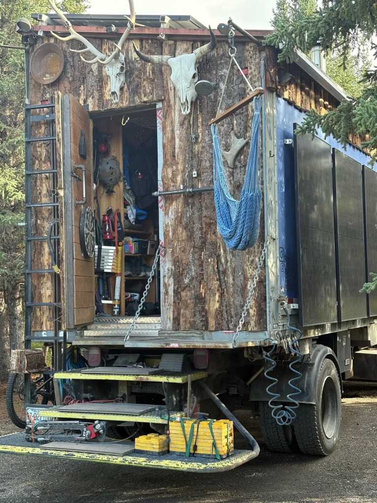
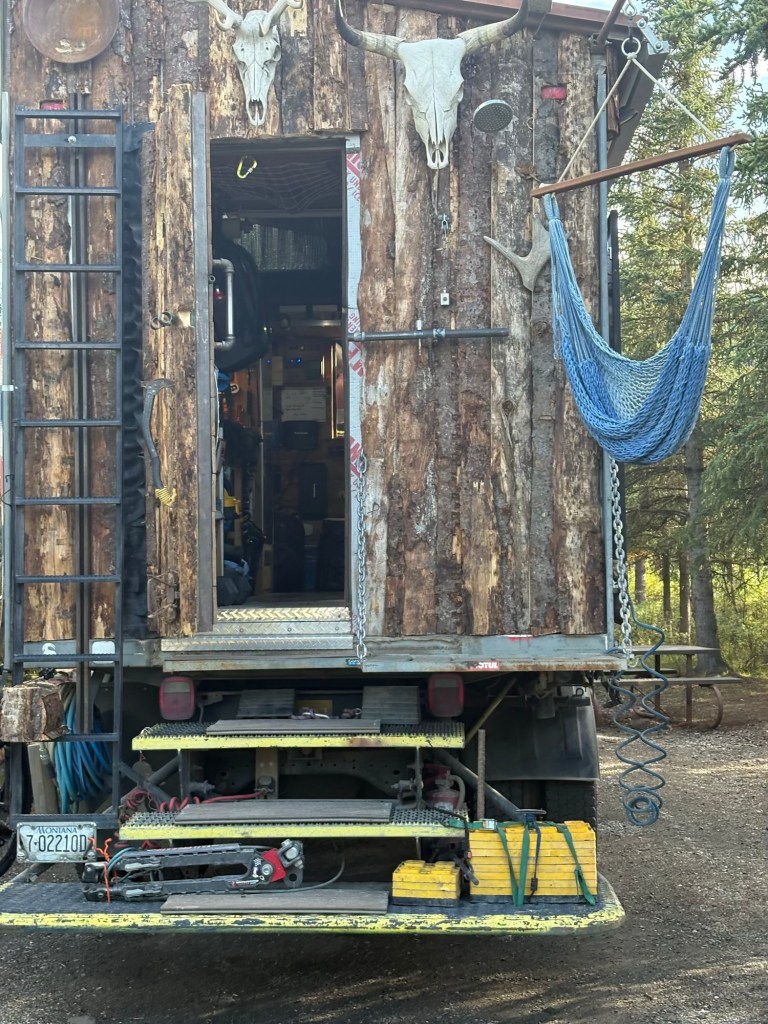
We took ZuZu for a stroll around the campsite – two interesting van conversions. A Fire/EMS
Truck and a food delivery truck with custom wood paneling.
Converted Fire/EMSComplete with Antlers and Solar
To Make a Wild Dream Come True
Charles Sheldon had a dream. Standing on a rise in the Kantishna Hills in 1908 he looked around. Everything his eyes feasted on could one day be a premier national park, the Yellowstone of Alaska, preserved and protected for one reason above all others; to celebrate restraint as an expression of freedom, our rare ability to save a place so it will one day save us.
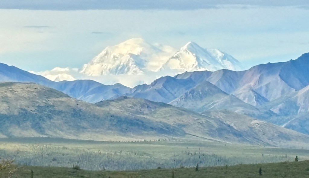
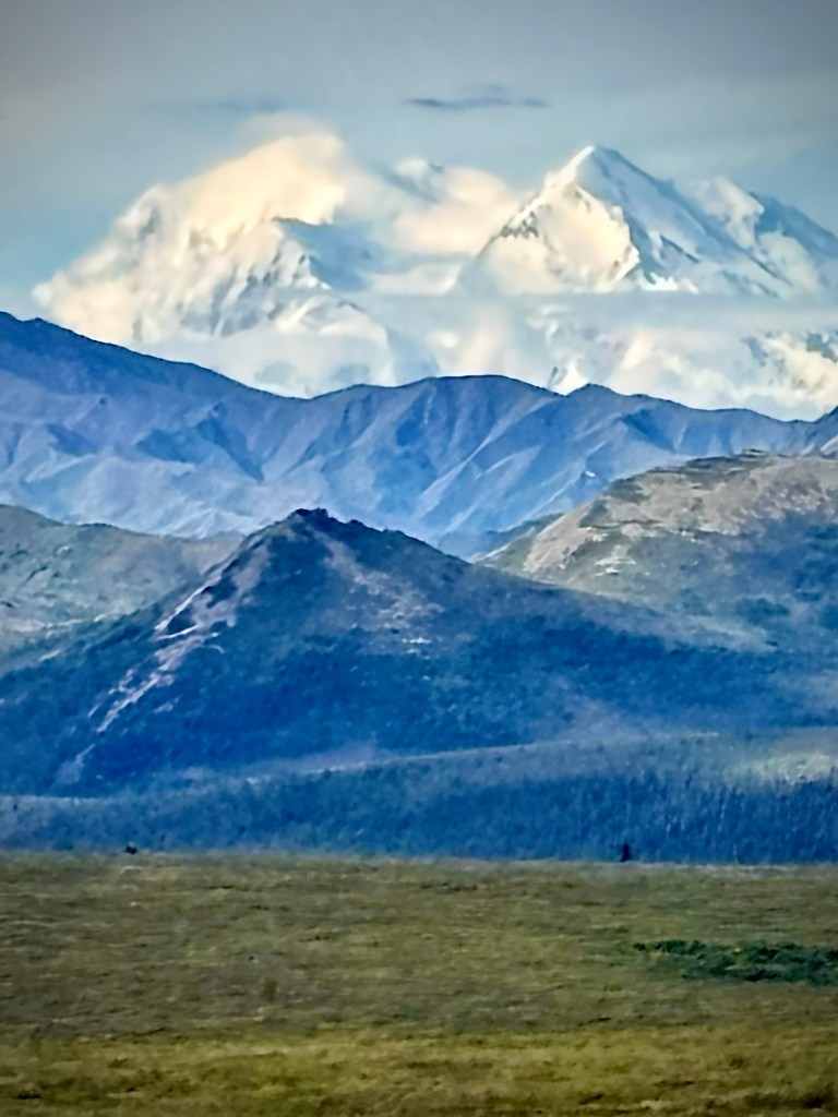
Look who decided to grace us with her presence on our fifth and last day, driving out of Teklanika Campground. We took so many pictures as the light changed and at every corner on the climbing road out of Denali NP.
Her Majesty – DenaliMount Denali in all her glory
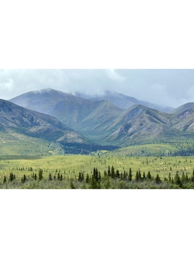
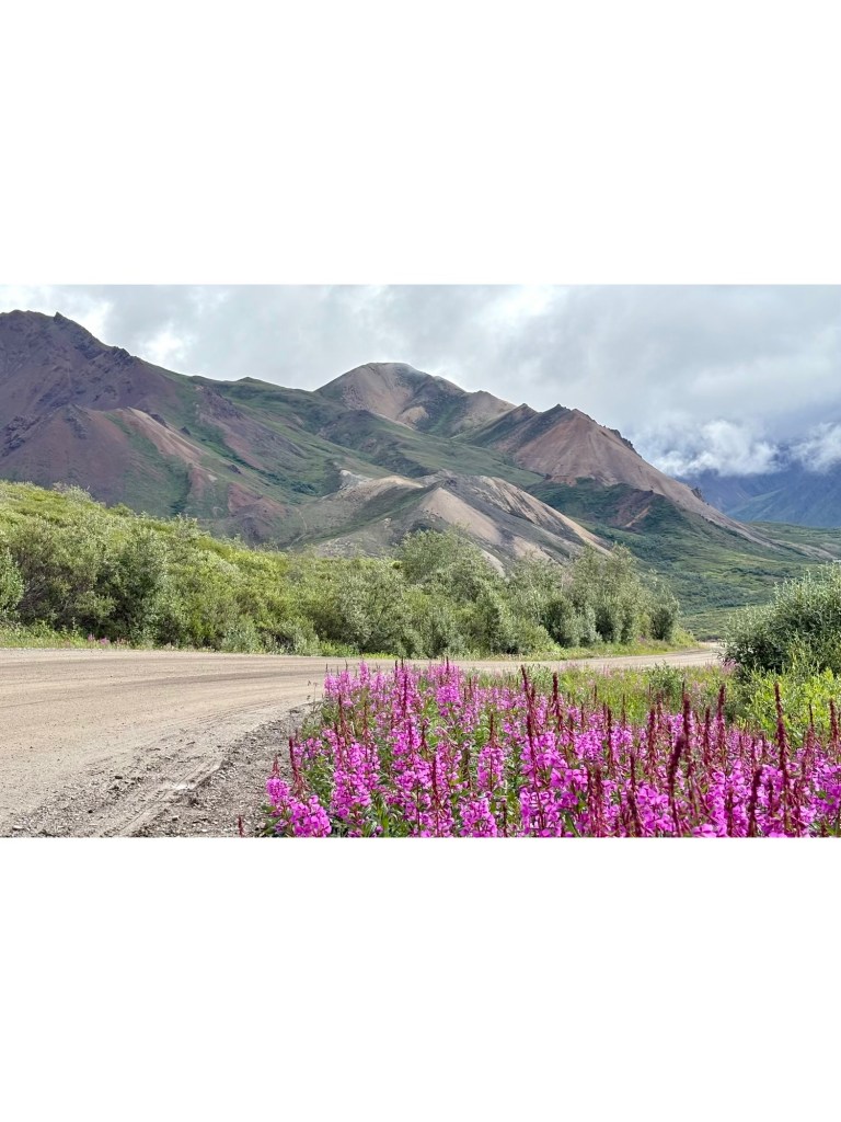
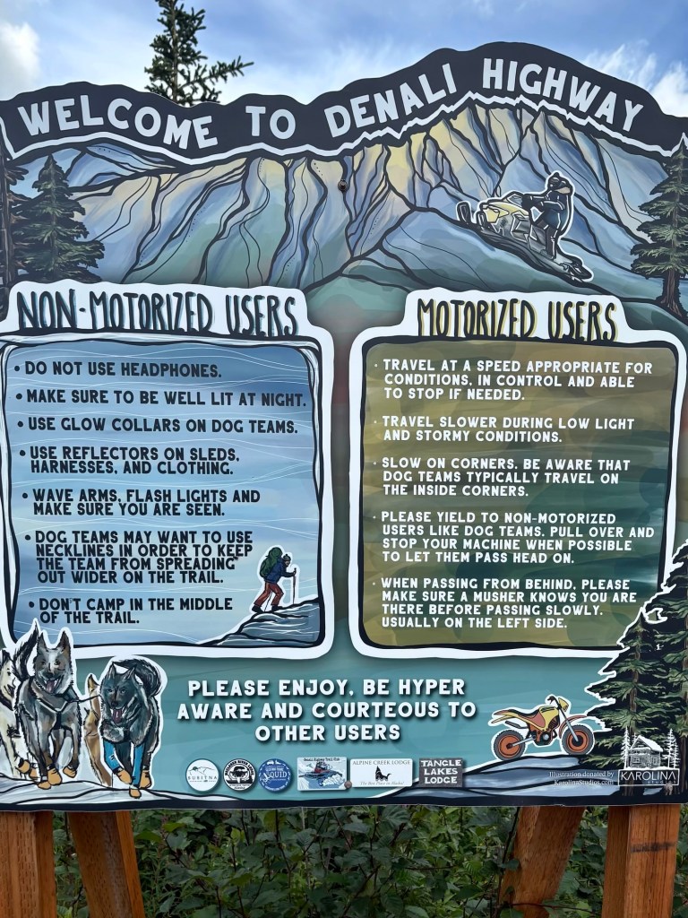
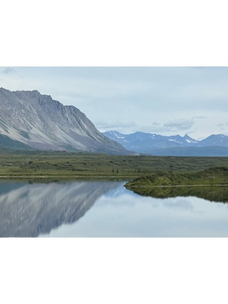
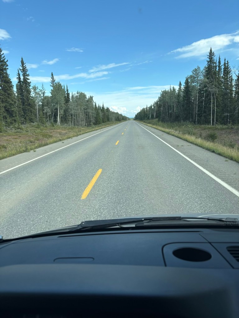
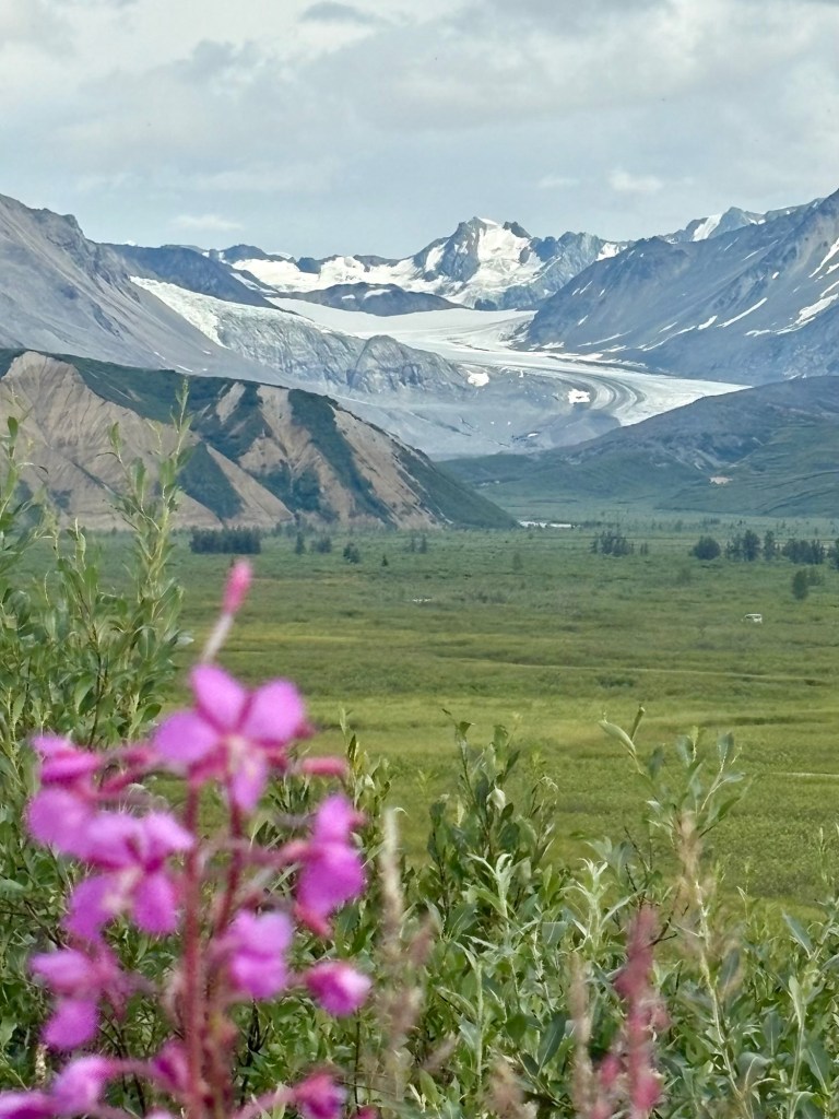
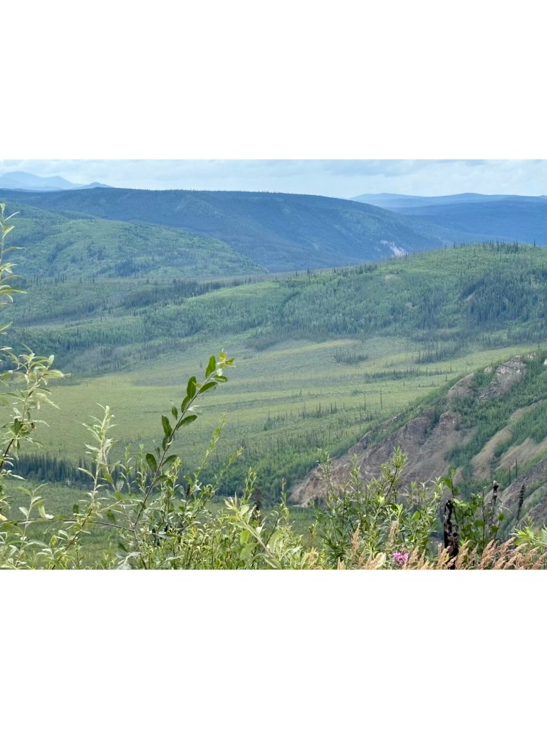
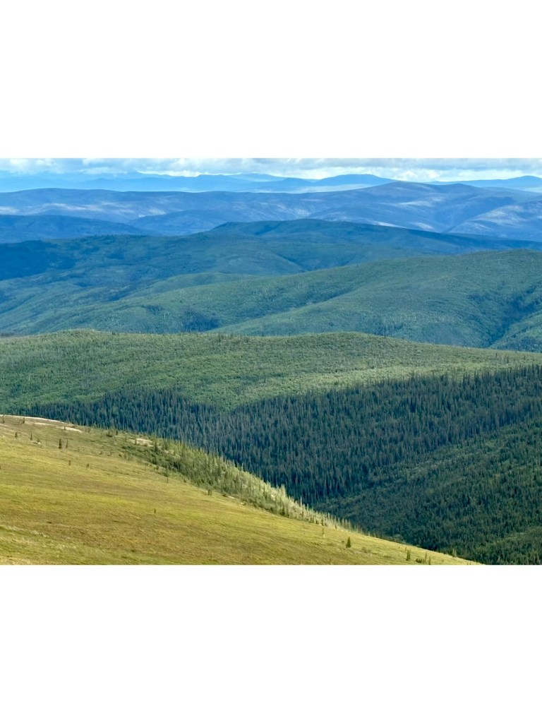
We decided to skip Fairbanks and take the Denali Highway east to Paxson. We had read about the beautiful drive, it is not exaggerated and we have only travelled about 30 miles of the 130 miles of gravel road.
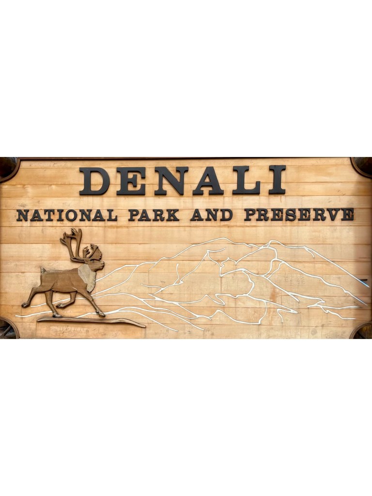
Cool signRoadside views
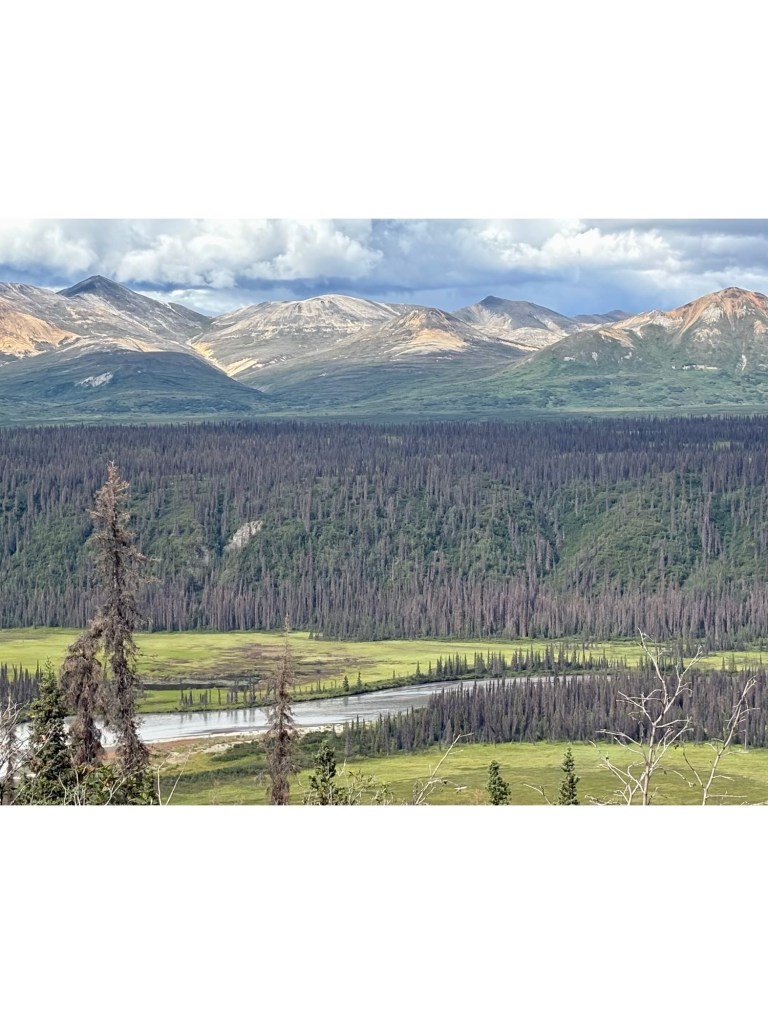
No wonder it takes people 3 days to drive the 130 miles – you want to stop so often to take in the ever-changing landscape.
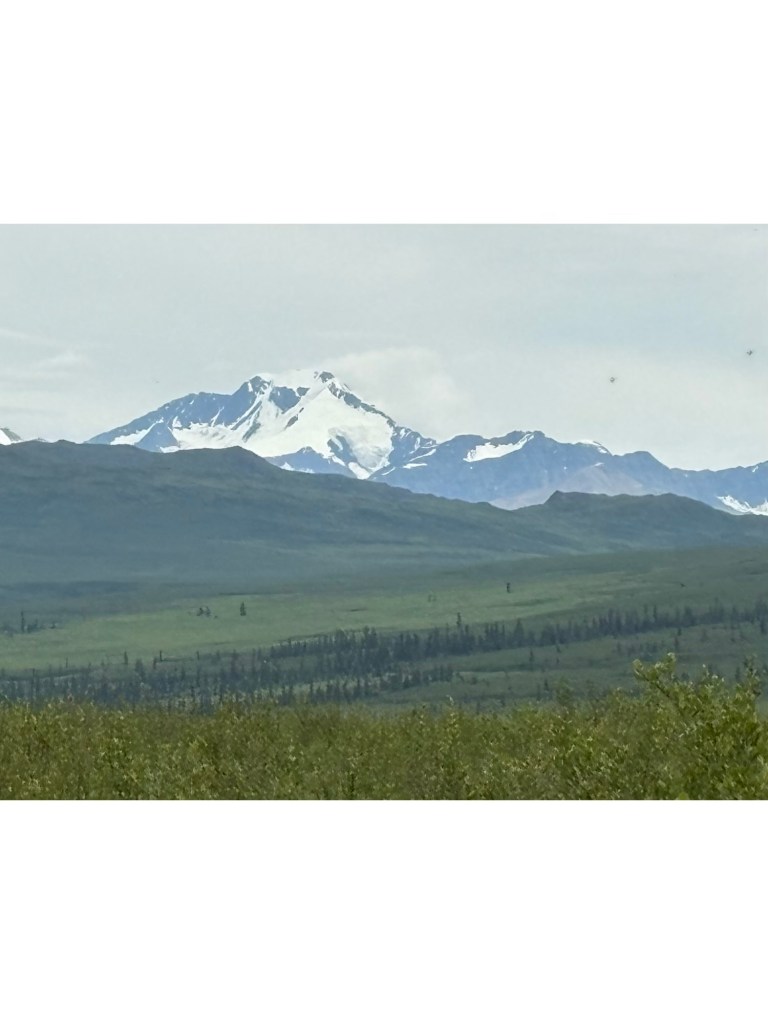
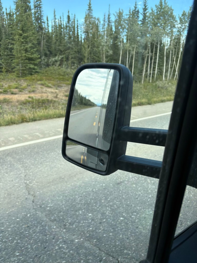
Roadside view of the Alaska Range
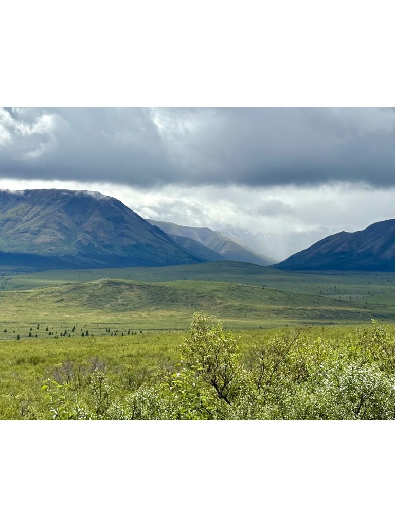
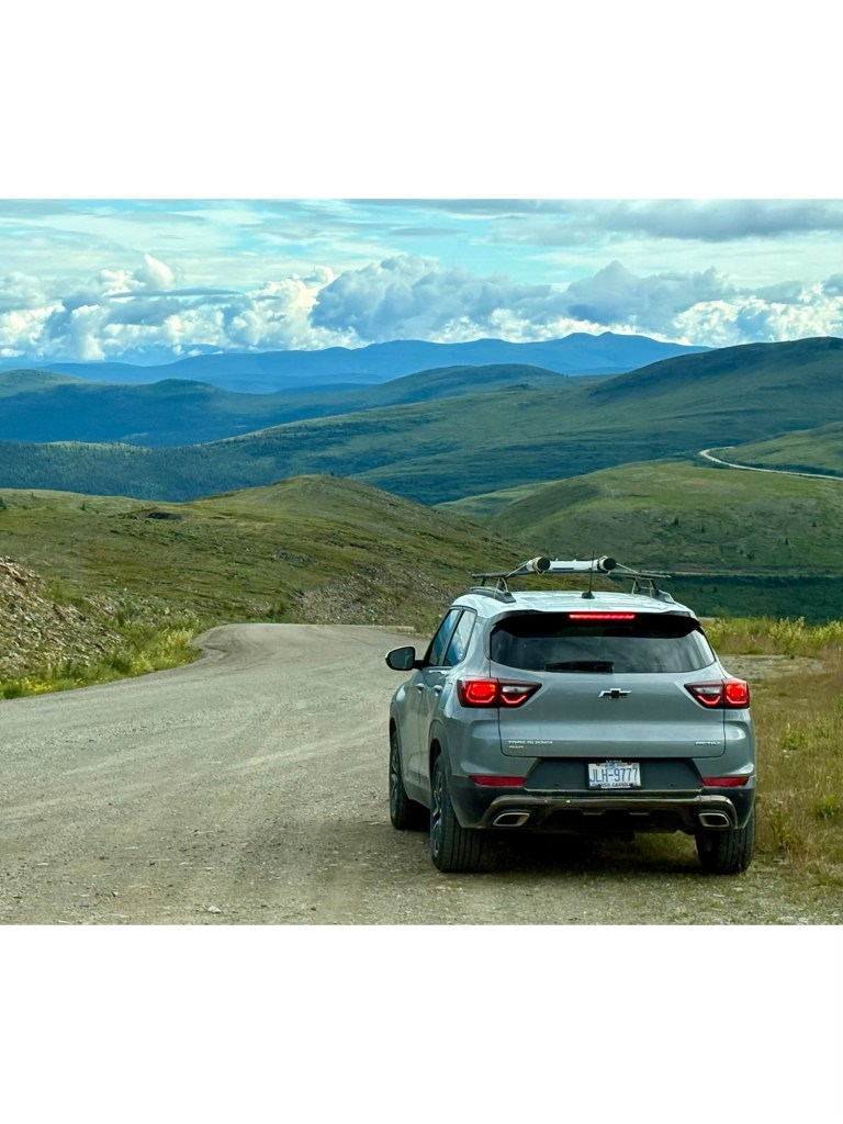
We checked out a BLM campground at mile 20 but too many bugs so we consulted the ever helpful “Milepost” guide and road pull-outs with views at mile 30 were recommended.
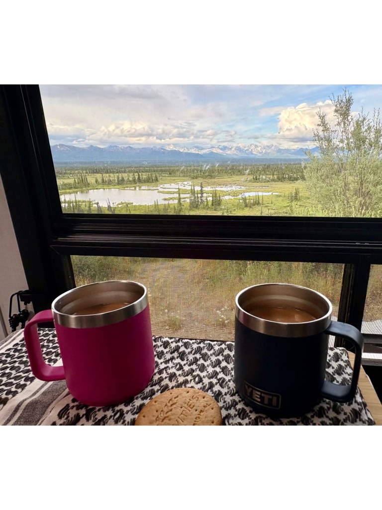
View from pullout.Cuppa Tea with biscuits and a View
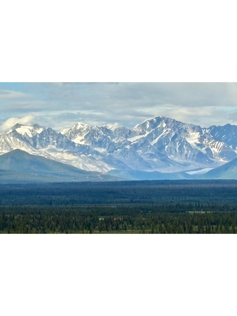
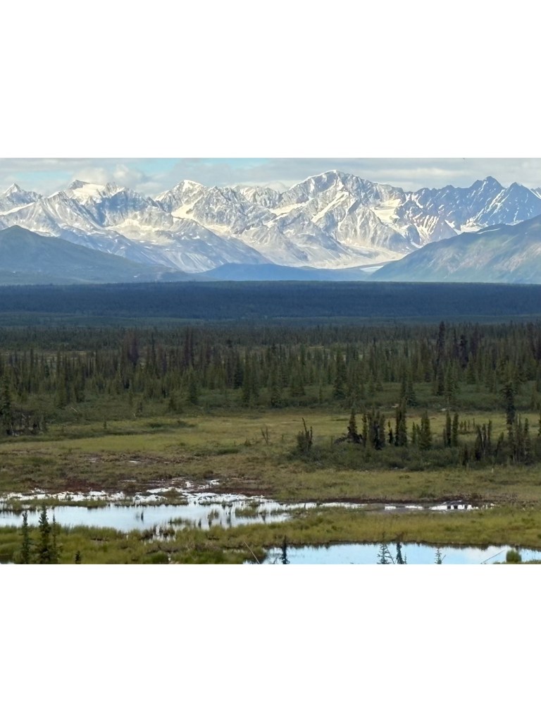
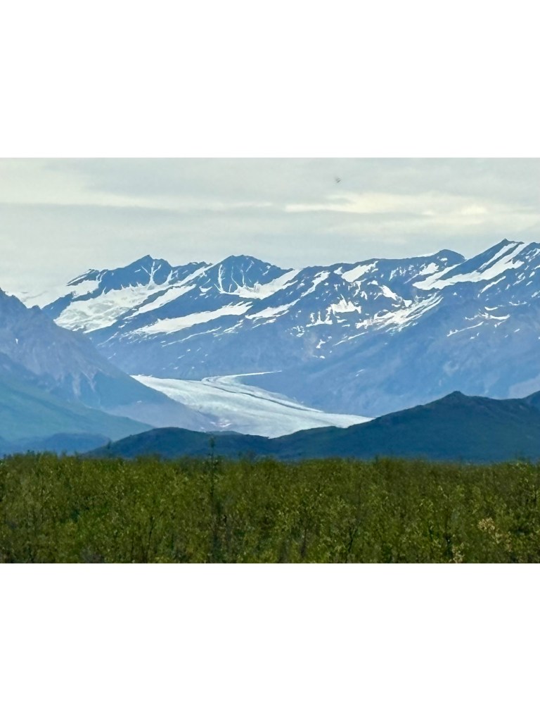
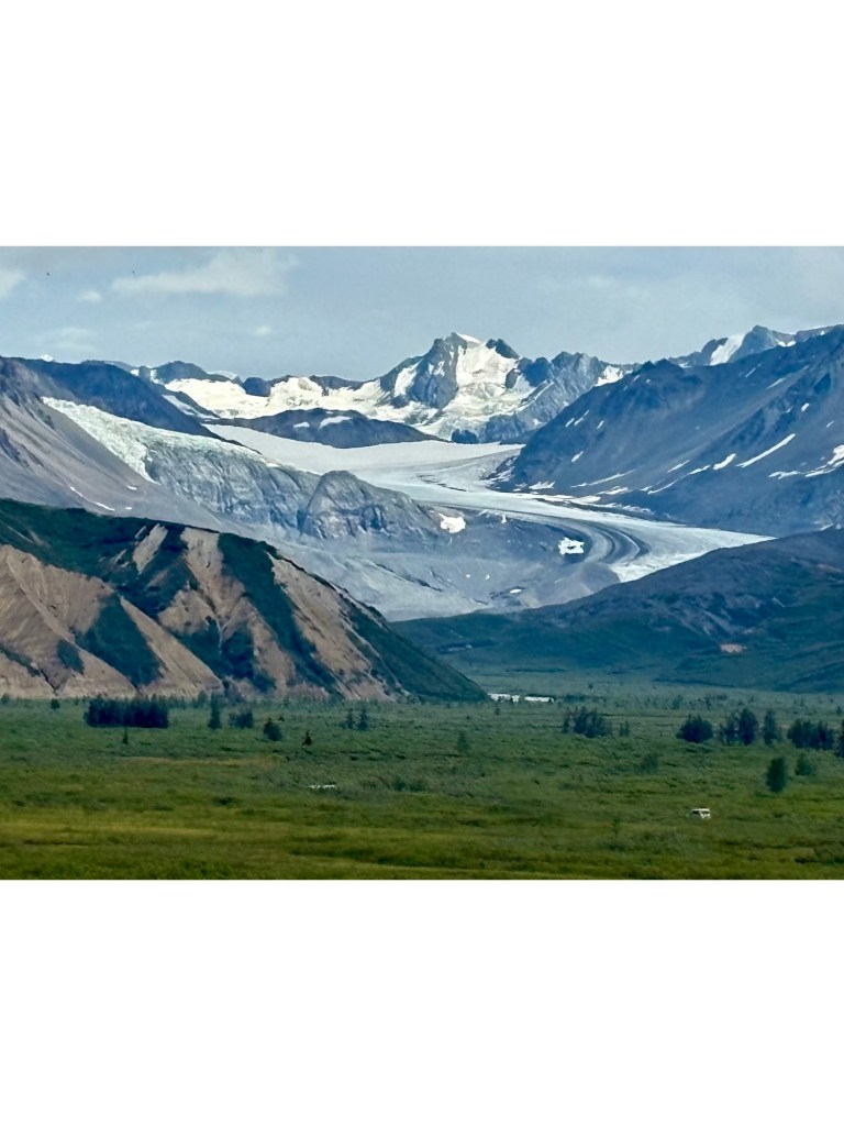
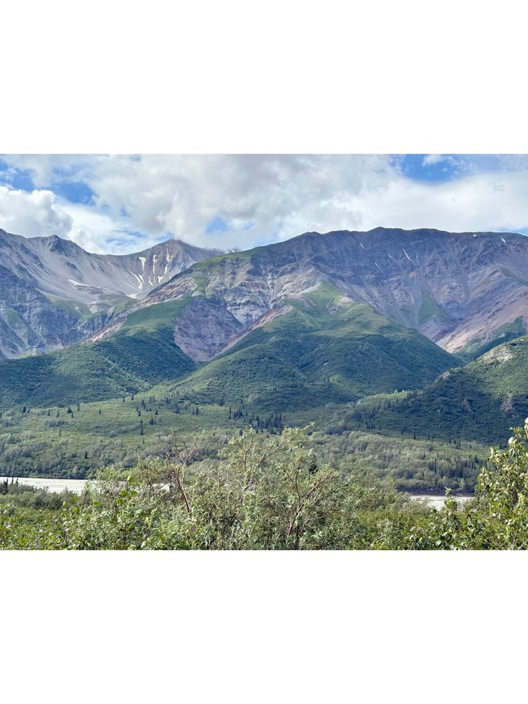
We enjoyed a peaceful night at our roadside pullout, only 1 vehicle went by. Our journey to TOK was punctuated by many stops to take photos of mountains and glaciers. Lynne recovered enough from her cold to drive her car so that made the ride smoother.
Every corner has a new view Another glacier
We stopped at Tangle River Inn for Cinnamon Rolls but sadly she hadn’t baked yet but this is the view from the recently reopened Inn.
Tangle River Inn view
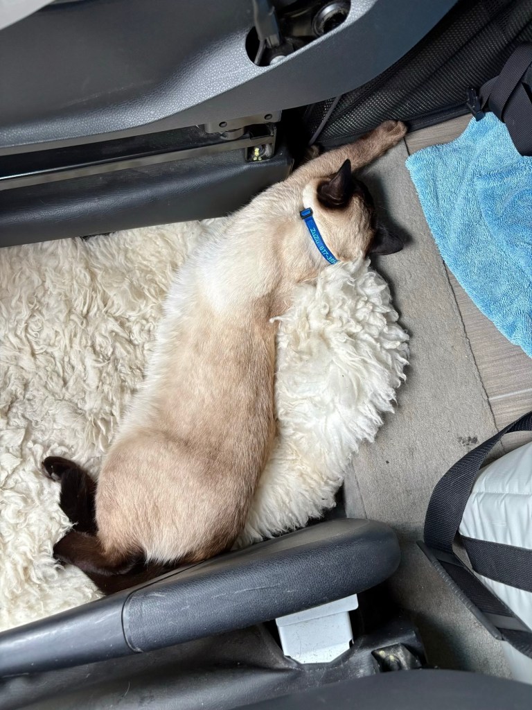
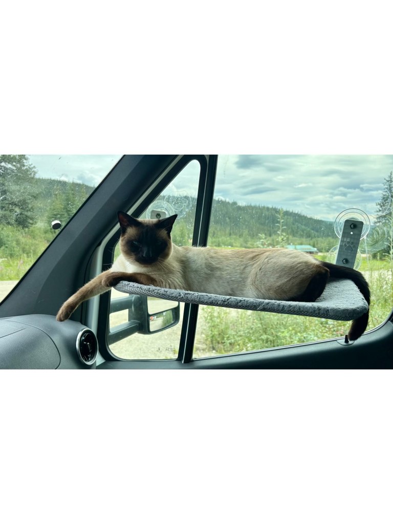
ZuZu has been a very chilled passenger, even on the washboard and pot-holed gravel roads.
ZuZu’s favorite spot No traffic in front or behind Glaciers are nearly becoming boring…A splash of color to spice it upJust outside TOK
We head off to Chicken AK today and then tomorrow we will cross the border and leave Alaska – quite, quite sad.
The drive was not as bad as reported, but there has been a lot of roadwork going on recently. We even managed to keep the Chevy attached to the motor-home, although we did detach it in Chicken AK for the drive to the border.
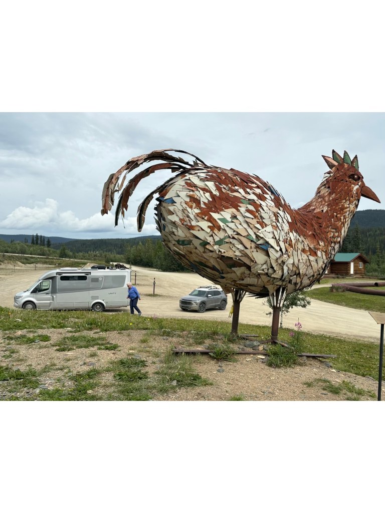
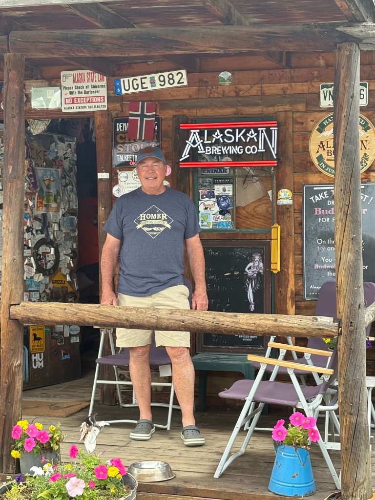
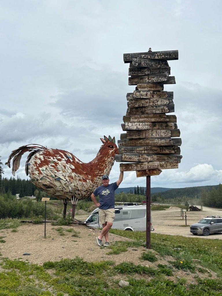
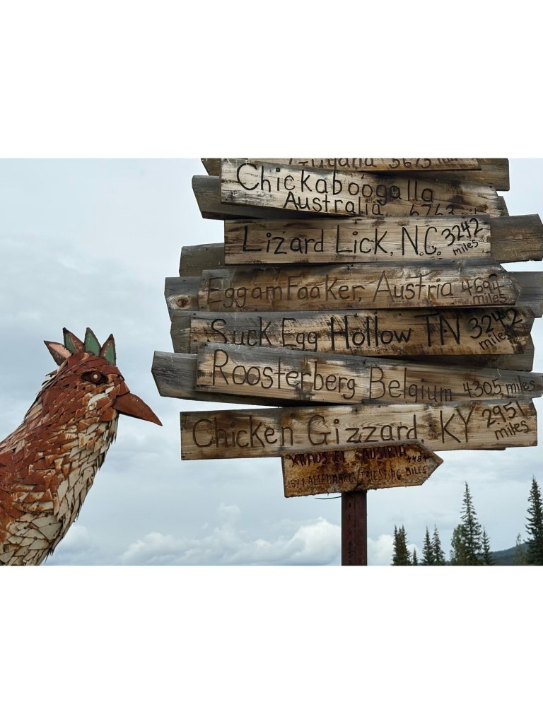
Chicken is a cute place – only 2 full time residents. They work at the Post Office – why they are needed in Winter is beyond comprehension. (Elon – you need to get the DOGE team on this).
True story – the original name desired was Ptarmagin (AK state bird) but they couldn’t spell it so they went with Chicken.
Views on Taylor Highway “Egge” was created by the school-kids from recycled school lockers.Of course there is a BarSo many destinations Chillin’ ‘n Chicken
Bruce has succumbed to the cold that I’ve been battling for the past few days so I’m taking over the blog just this one time ! Goodbye Alaska ! We love you !! We’ll miss your breathtaking scenery and charm.
We left from the “top of the world” TOTW. The gravel road (highway as they like to say in Alaska) connects Tok AK to Dawson City YT.
View from TOTWRoad conditions necessitated a decoupling (much to Lynne’s delight)
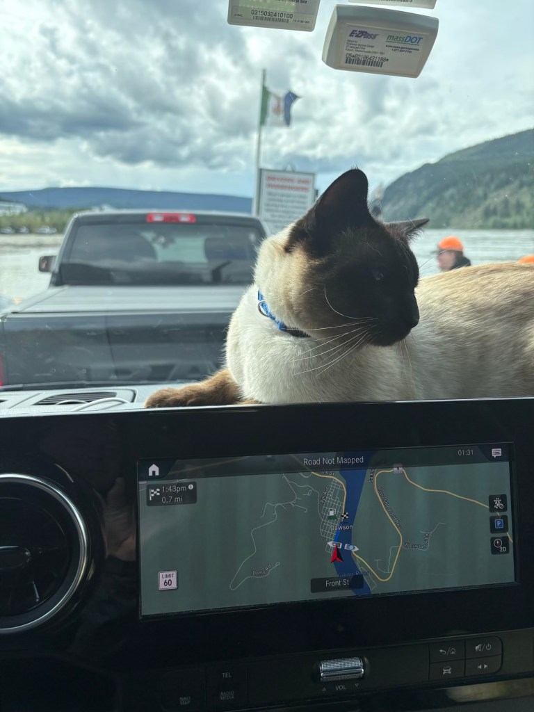
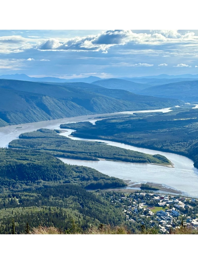
We arrived at the mighty Yukon River and entered the19th century Klondike Goldrush at Dawson City via a ferry – I do believe it is an original from the 1900’s!!!
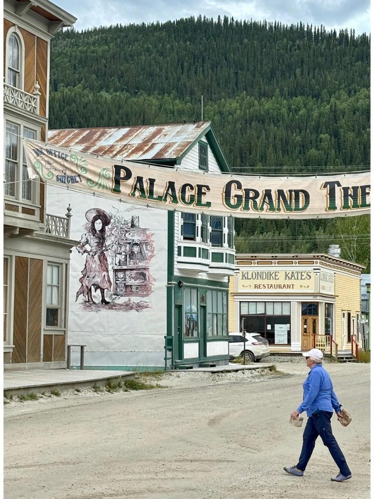
There are definitely some stories to be told about this quirky little town. You can almost hear the whispers of prospectors and pioneers as you stroll through these dusty streets.
Strollin’ the Streets of Dawson
Tonight we rest amongst the ghosts of the past tomorrow we see if we strike gold at Diamond Tooth Gertie’s Gambling Hall !
I didn’t want to infect anyone so sadly we stayed away from Gertie’s Gambling Hall. We couldn’t leave Dawson City soon enough. The drive is always better than the destination!
Dawson City – nice from far but far from nice (sorry)
After an overnight stop at Pelly’s Crossing we are back at the Caribou RV park in Whitehorse, YT where we started the Cassiar Highway on June 30th – seems like a lifetime ago! Theyhave an onsite food truck with French chefs and we had a belated 44th anniversary dinner on Saturday Aug 2nd.
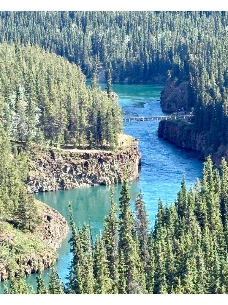
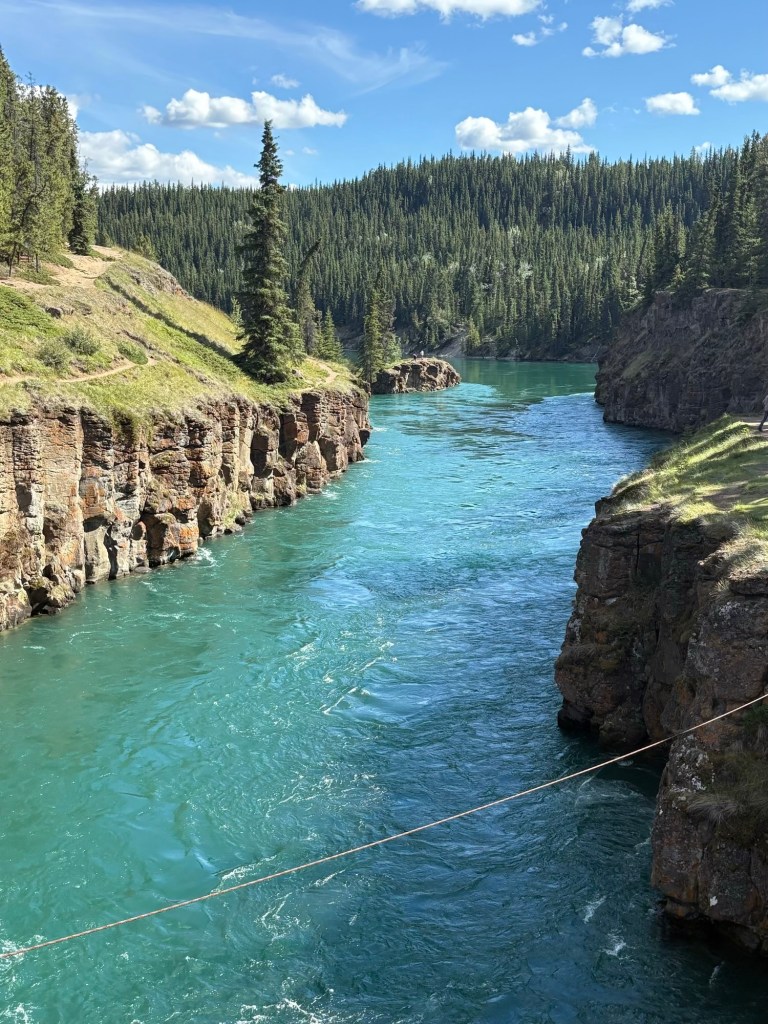
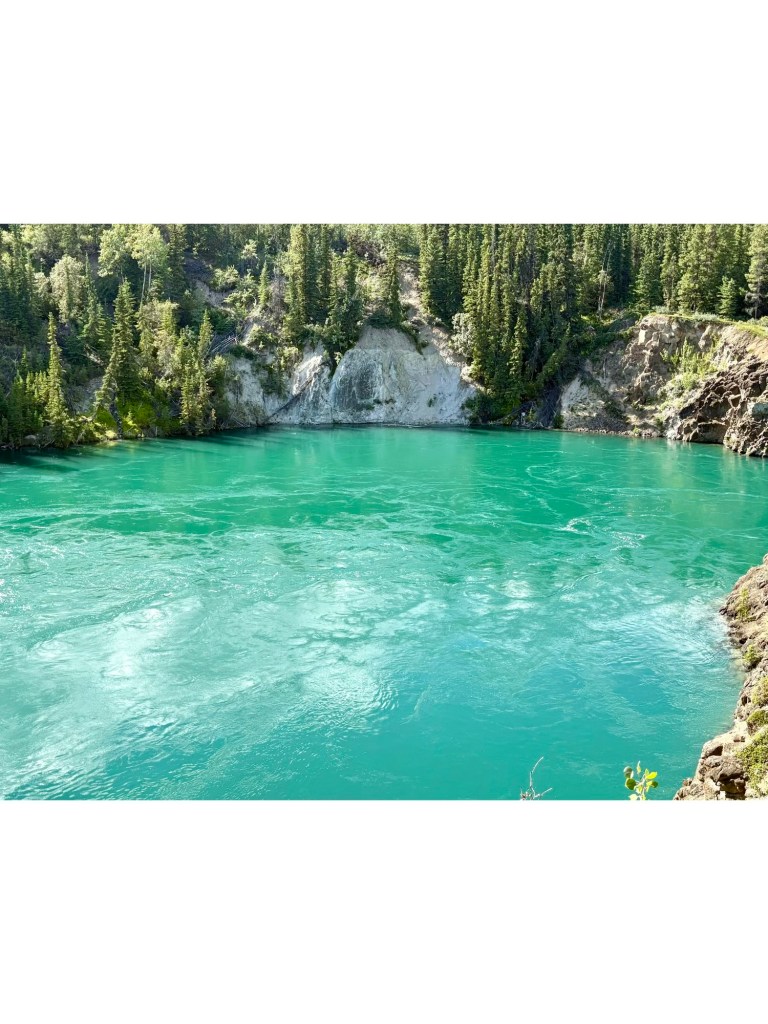
Miles Canyon is nearby scenic drive and hike in Whitehorse – stunning!
View from above the Miles Canyon Suspension Bridge View from the Suspension BridgeDifficult to resist the “No jumping” sign
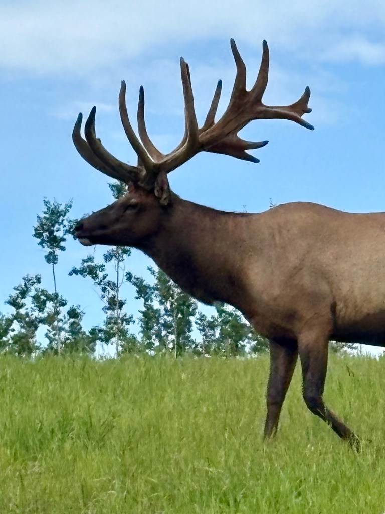
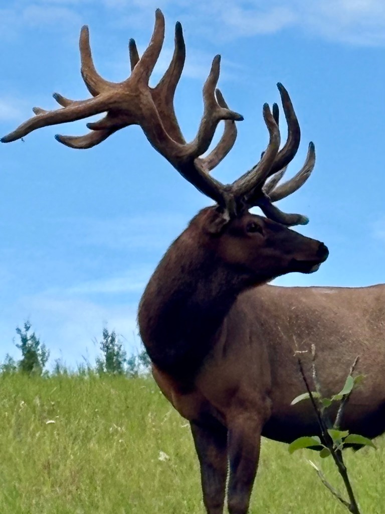
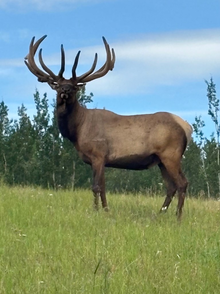
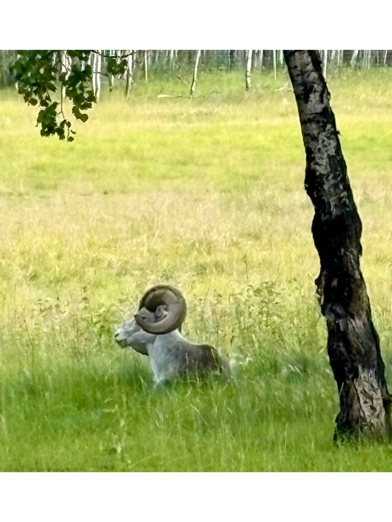
Sunday was a hiking day for us and we saw a few Caribou, Big Horn Sheep and Mountain Goats.
Nice Rack!Are you lost?Chief Big HornLeave me alone, I am meditating – OM….